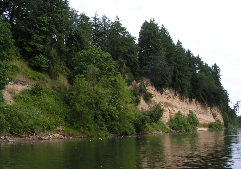
Cliffs along the river are not common. This one is the biggest, and
located at RM 107, downstream from the entrance of the Santiam River.
The cliff is made more impressive by the big Douglas Fir trees at the
top, ready to come down and become river debris.
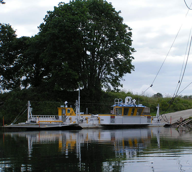
It is a nice boat, but not running. We found out later that as of June 14, "The Buena Vista Ferry is CLOSED for repairs and a dredging project." There are three ferries on the Willamette. This one is at RM 106.
Isn't that a nice Garry Oak cluster behind the ferry?
We saw this from the river (between RM 101 and 102) and realized it
was part of
the Rogue Brewery.
The disappointment was that they didn't open
until 4 PM and it was only 10 AM. Jim promised to build his next
paddle schedule around this stop.
The famous Willamette River Serpent.
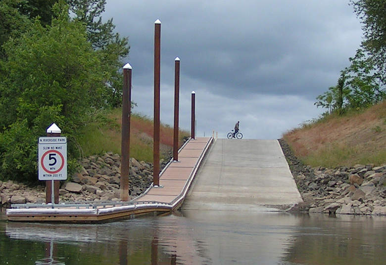
There is a large city park in Independence, OR (RM 95.5). It has
been the boat ramp for the area. We stopped there and had lunch, which
worked fine. But that ramp is going to be closed and replaced by this
new one at RM 95, downstream and away from the downtown. This is
called the "Riverside Park," as many of them might! Paddlers can
continue to stop at the old park, I believe.
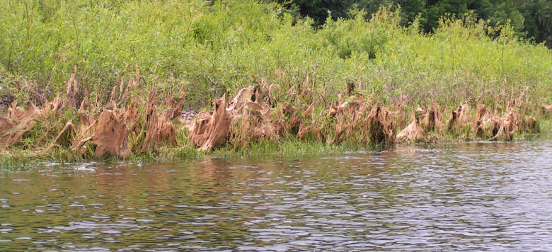
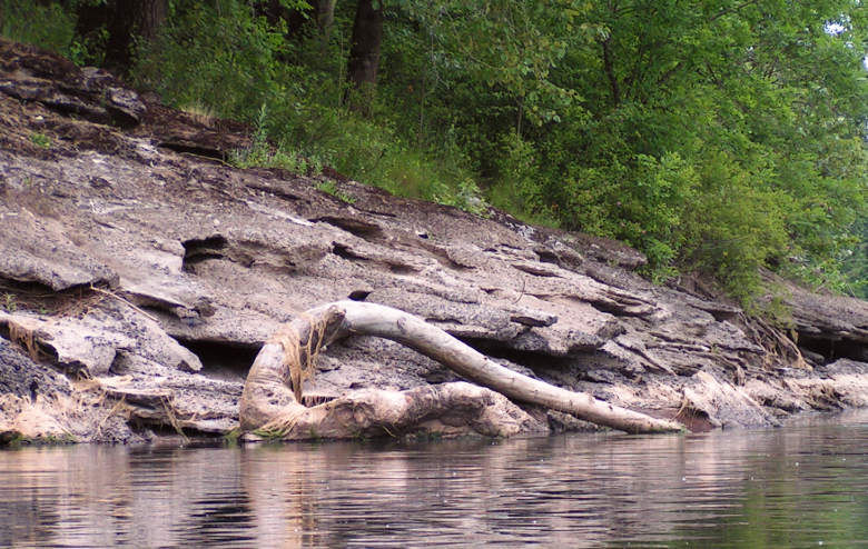
The fine-thread seaweed (riverweed?) dries as the water level drops, leaving families of
brown ghosts along the river.
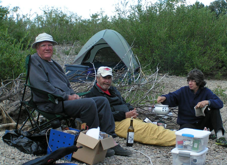
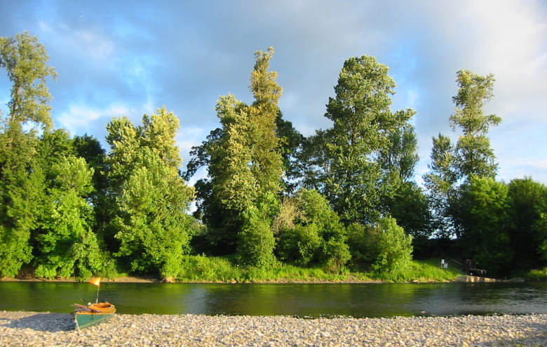
The end of day 2 found us camped on a state owned island at
RM 89.5. It had no trees, but lots of willow brush. We hunted to find
camp spots that were not on larger cobblestones. Finer gravel does collect
in places, and we put our tents in those more comfortable spots.
The afternoon and evening weather was most pleasant. But, the night
brought rain and we awoke to find that everything outside our tents
was wet.
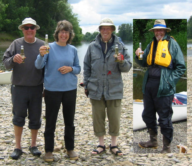
Chuck and Shalline provided refreshing drinks at the arrival
at camp, and then recorded the festive event with a camera. They
carried a cooler with ice in the canoe! L-to-R are Jim, Shalline, Bob
and Chuck.
This was the lovely view of the river from the second camp. They
don't show in the picture, but we had a wide range
of bird species in our front yard. A Shalline picture.
We got underway with rain coming down lightly. That really
didn't seem to be a problem and once paddling,
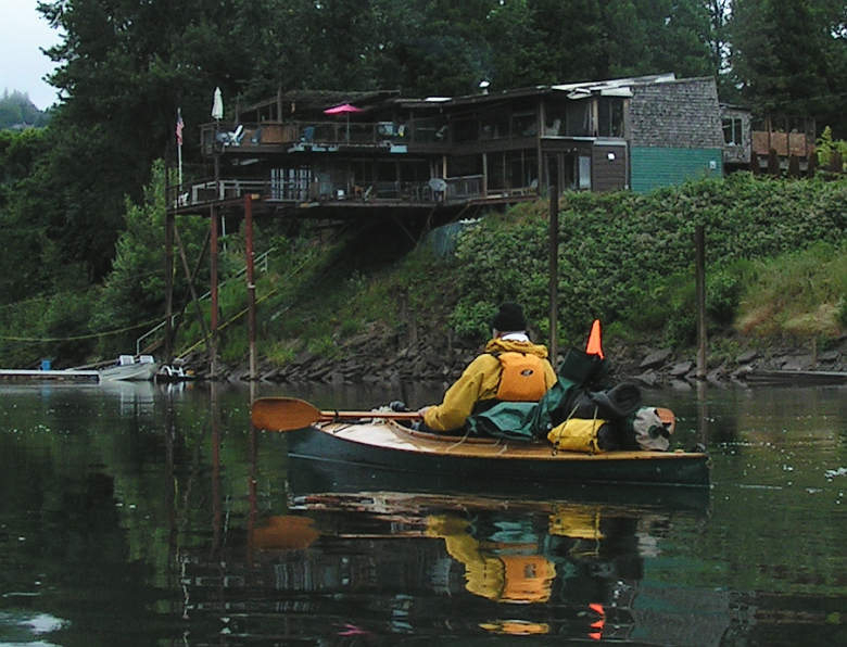
everybody looked to be warm and cheery! This house sits out over the
riverbank, upstream from Salem, and makes an interesting sight.
Here we are at West Salem's Wallace Marine park (RM 84)
located at the Hwy 22 bridges.
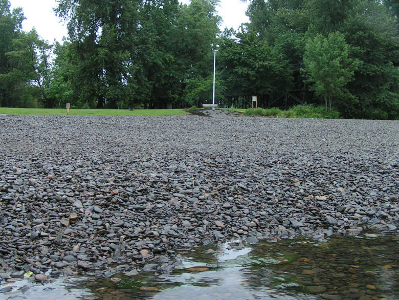
This collection of stones is covering what used to be the boat ramp.
The current ramp is upstream, but the best paddle beach is below the
bridges. We stopped here for a morning break.
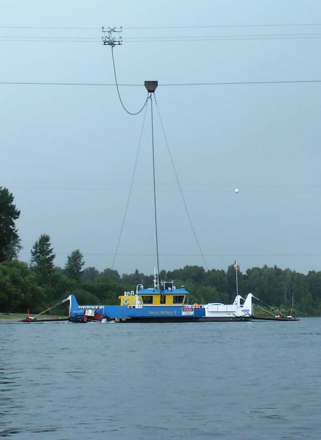
When we saw the Wheatland Ferry, we knew we were going to have to stop paddling, and go to our homes. It was still raining on-and-off but I think we all would have been happy to continue. It was a fine trip!!
The lower cable keeps the ferry on course and prevents it
from going down the river. The three upper wires supply electricity to
propel the boat. All four are connected by pulleys, as the
electric motor and associated propeller make the boat move.