This web page is part one, covering our first day. Part 2 covers the second and third days.
The river miles decrease going downstream. RM 0 is at Kelly Point
in Portland, where the Willamette flows into the Columbia River.
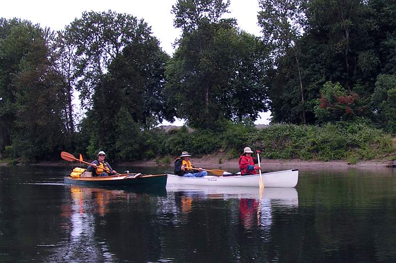
The river flow was slightly above the summertime
level, providing several knots of free ride. We paddled moderately to
add perhaps three more knots. We seemed to average around 5 knots (6
mph) much of the time.

Until we got close to Salem, houses were infrequent. Some of them, such
as this one between Corvallis and Albany , seemed to be in tune with
the river.
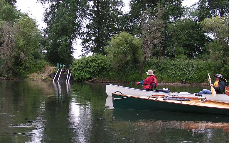
Our constant companions were the irrigation pumps. This one was
relatively fancy. We talked with one farmer that was starting his pump
for the first time this season, but most seemed to be running by the
time we arrived.
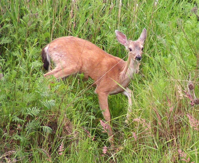
Animal life that we saw was dominated by birds. Birds are challenging
to photograph, so the animal picture is a deer! Shalline and Chuck
saw a raccoon, but other mammals were hiding. Twice we saw large
anadromous fish moving up stream in the shallows. Insects were abundant,
but we did not need repellant at any time.
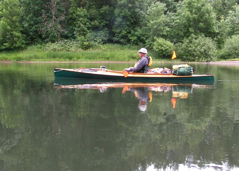
Life is tough on the river.
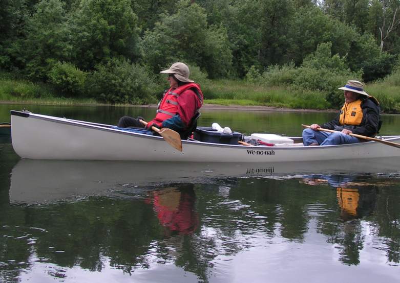
We all got into the spirit..
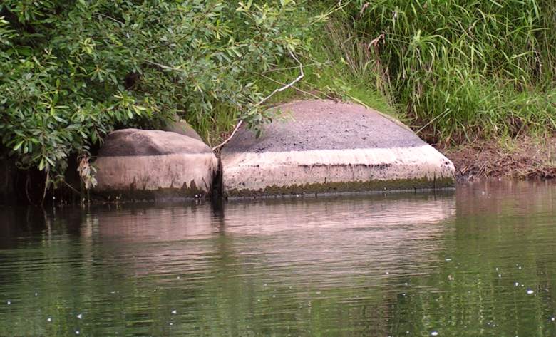
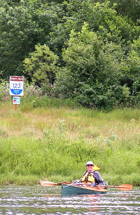 Bowers Rock State Park (RM122-123) is undeveloped, but interesting parcel of land.
It includes a quiet slough that goes well off the river. The river mile
signs are scattered and usually at points of note.
Bowers Rock State Park (RM122-123) is undeveloped, but interesting parcel of land.
It includes a quiet slough that goes well off the river. The river mile
signs are scattered and usually at points of note.
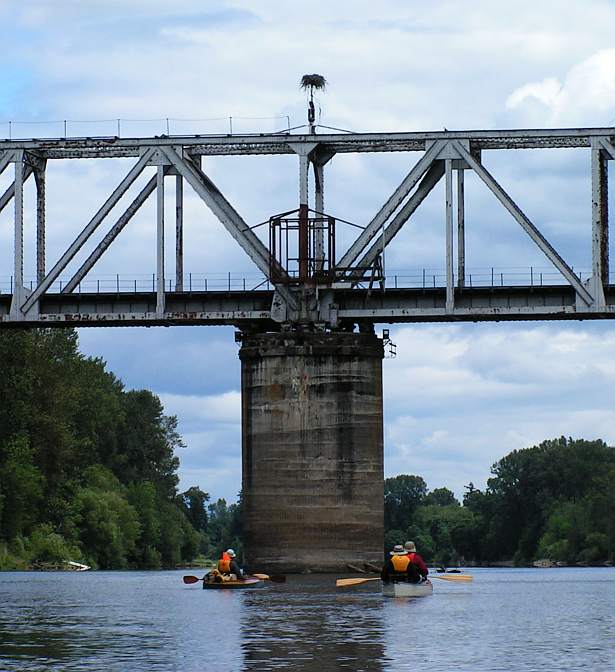
What a great spot for an Osprey nest. This is the Albany railroad
bridge (RM 119).
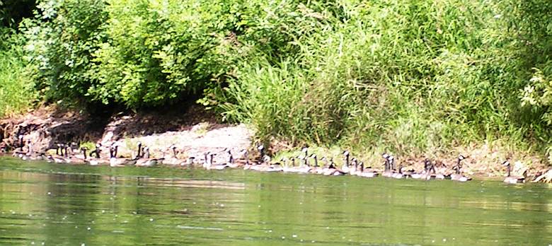
I think this group is supposed to be up north in Canada. But, they
look happy on the Willamette. We saw modest numbers of Canada Geese.
Relatively, the Ospreys and Bald Eagles were abundant, reflecting their
resurgence. Great Blue Herons
were common, as usual, along with many other species.
Here's another big animal, the Willamette Fringed Turtle.
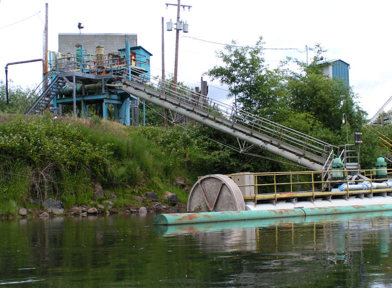
Not much industrial activity is seen along the river.
This equipment is apparently sending water to Millersburg.
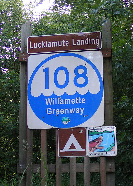 We stopped for the first day at the Luckiamute Landing State Park.
This is a lightly developed park that has a camp site for
river travellers, including a picnic table, fire pit and an outhouse.
The camping area, which is set back from the river beach, is large and open.
We stopped for the first day at the Luckiamute Landing State Park.
This is a lightly developed park that has a camp site for
river travellers, including a picnic table, fire pit and an outhouse.
The camping area, which is set back from the river beach, is large and open.
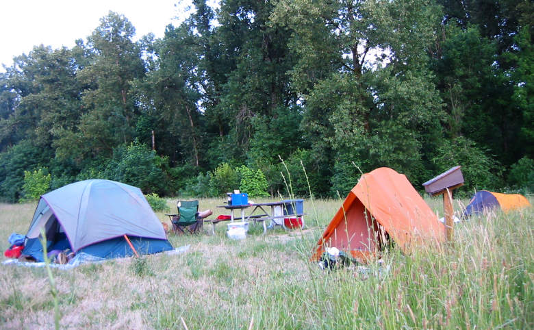
Shalline took this picture of our Luckiamute camp. We had three walk-in
visitors at the camp. This contrasts with our time on the water where
we saw one boat with a driver, but passed zero boats in three days.
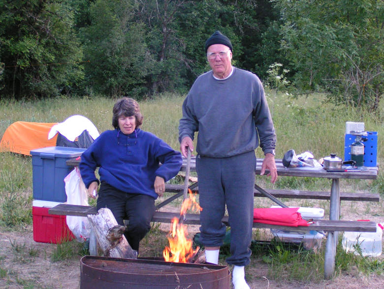
Jim found some wood that he sawed up and made a little camp fire.
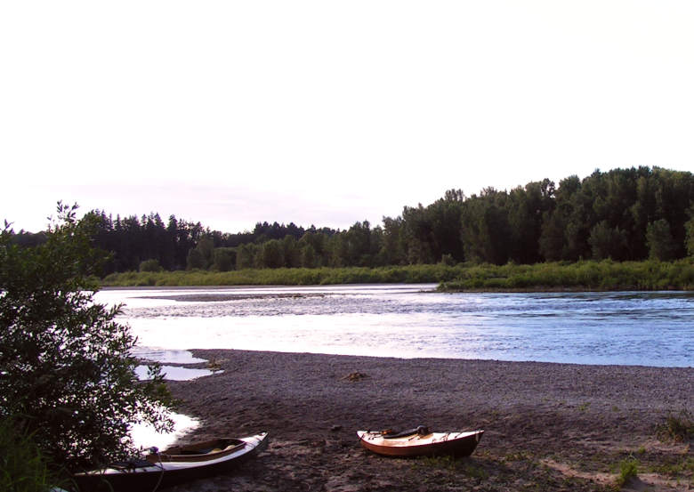
This is sunset on the beach for the camping area. The Santiam River
is entering the Willamette in the background, coming from the right
behind the willow bushes.
This page was last updated 16 June 2013
Please email comments or corrections to bob 'the at sign' janbob dot com